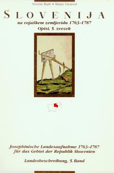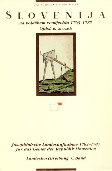
Slovenija na vojaškem zemljevidu 1763–1787, zvezek 6. Josephinische Landesaufnahme 1763–1787 für das Gebiet der Republik Slowenien, Bd. 6.
Sekcije 139, 140, 141, 142, 143, 144, 145, 146, 147, 165, 166, 167, 168, 169, 170, 171, 172, 196, 197, 198. Sektionen 139, 140, 141, 142, 143, 144, 145, 146, 147, 165, 166, 167, 168, 169, 170, 171, 172, 196, 197, 198.
Regular price: 38.00 €Online price: 34.20 €
Authors
Vladimir Kološa
,
Vincenc Rajšp
Publishing Houses
Založba ZRC, Arhiv Republike Slovenije
Publisher
Milko Kos Historical Institute
ISBN
961-6358-23-5
(ZRC SAZU)
, 961-6137-50-6
(Arhiv RS)
Year
2000
Series
Slovenija na vojaškem zemljevidu
6
Specifications
hardback 21 × 29,5 cm XL + 385 pages 23 maps, reproduced in colour and original size 42×62 cm
Presentation page
https://zalozba.zrc-sazu.si/p/647
Keywords
18th century | Austria | cartography | Drava valley | historical sources | history of cartography | Josephine maps | Josephine measurements | maps | military maps | Styria